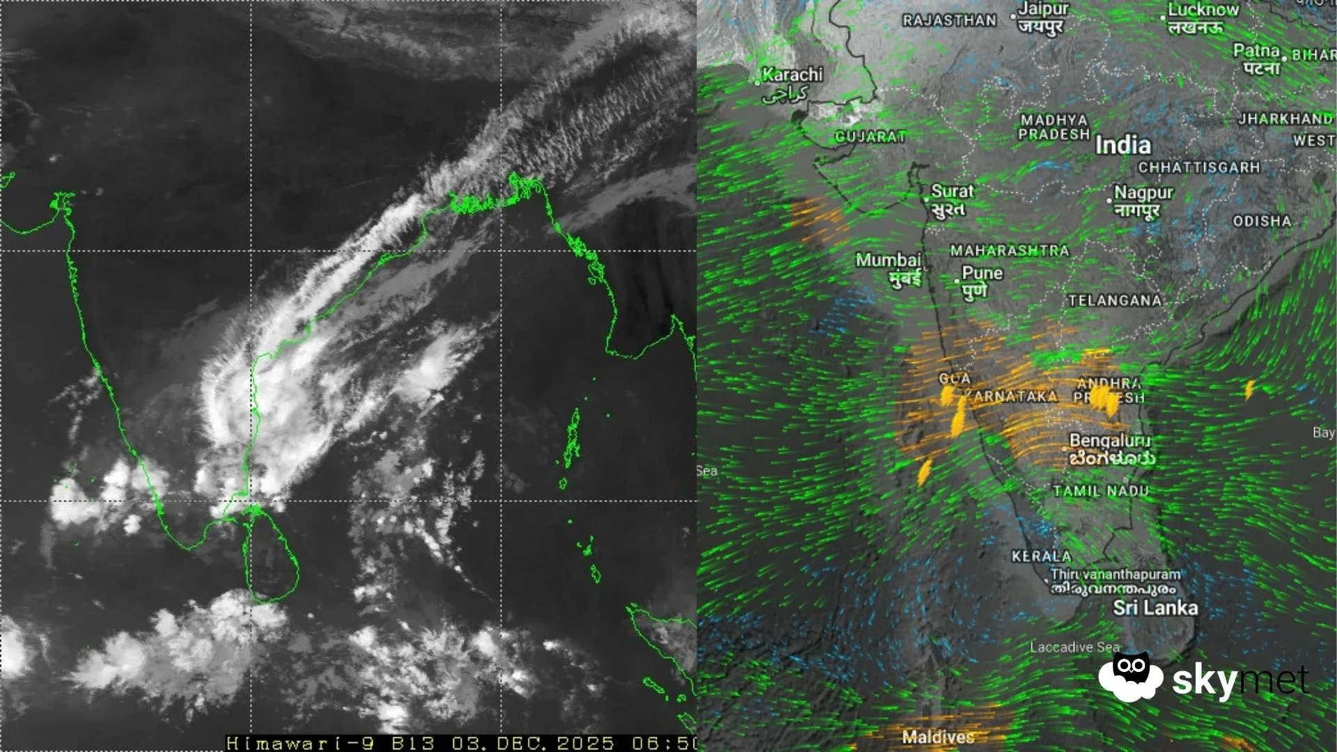
This has been a stubborn system, taking an “unusual course” and maintaining a southwesterly track for over 24 hours. Even though it weakened, the last 24 hours were still wet—heavy rain continued, especially along the coastline.
The Rainfall Count: Where It Hit Hardest
Coastal areas and the immediate vicinity got the brunt of it.
Jotting down the significant rainfall amounts recorded in the last 24 hours:
-
Nungambakkam (Chennai): 51text{mm}
-
Meenambakkam (Chennai): 30text{mm}
-
Nellore (South Coastal Andhra): 88text{mm}
Scattered showers were also reported across the interiors of Tamil Nadu, Kerala, and parts of Karnataka.
The Immediate Forecast: Hang On for 24 Hours
The well-marked low-pressure area is practically stagnant right now. It is draped over North and Central Tamil Nadu and the Puducherry-Karaikal region.
For the next 24 hours? Similar conditions are likely.
-
Expect: Moderate rainfall with heavy showers possible at isolated places across Chennai, Puducherry, Karaikal, Nellore, and other coastal districts.
-
The Change: The system’s persistent stay over land will actually work against it. It will erode its configuration and is expected to become a weak low-pressure area by late evening today.
The good news: the remnant circulation will only keep light weather activity going over the southern parts for the subsequent 48 hours. So, the worst of the persistent heavy rain is finally expected to ease tomorrow. It’s a slow burn, but relief is coming.
