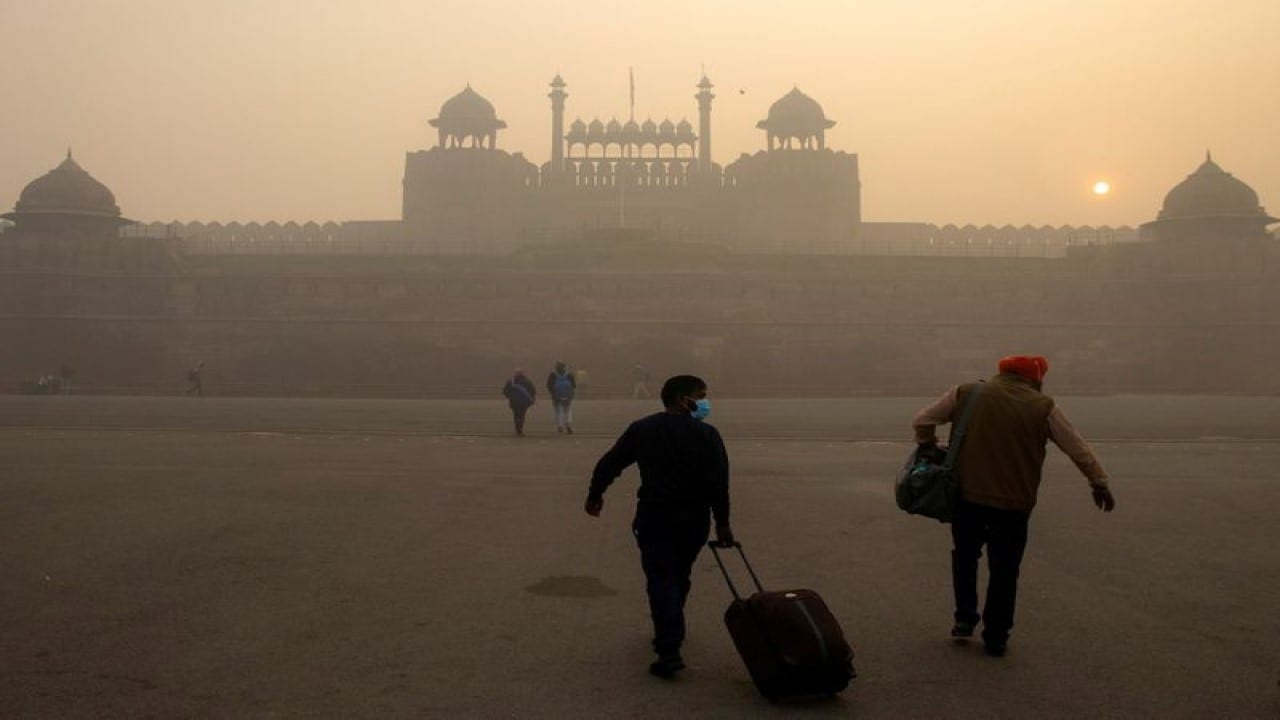
The weather pattern in North India is doing this weird split: warmer days but record cold nights. And then the region is getting hit with a severe air pollution problem that the current weather systems are actually making worse.
This whole unexpected spell of warmer winter days, especially leading up to Christmas, is happening because of two main things: limited Western Disturbances (WDs) and the presence of a strong anticyclonic system over western India.
Also Read | The S24 Ultra Steal: How to Get ₹35,000 Off During the Flipkart Buy Buy Sale
The Day/Night Disconnect
This December is a strange one.
-
Warmer Days: Experts predict maximum daytime temperatures across Northwest, Western, and Central India could rise 3°C to 7°C above normal between December 15 and December 22. Delhi’s average maximum temperature has already jumped up to 4circtext{C} over the past three days.
-
7.74cirtext{C}.
-
Colder Nights: Here’s the kicker—the nights are still freezing. Delhi recorded its coldest average minimum temperature for the first half of December in the past 14 years, sitting at
The thing is, strong anticyclonic activities over the west are pushing dry winds southwards, which is actually causing cold waves in places like Telangana and North Karnataka.
Also Read | The S24 Ultra Steal: How to Get ₹35,000 Off During the Flipkart Buy Buy Sale
-
The Smog Trap (And Why It’s Getting Worse)
The primary problem is that these dry winds are unable to penetrate the dense smog prevalent over Northwest India, according to Dr. K J Ramesh, former IMD Director General. The air pollution is essentially blocking the normal weather patterns.
Adding to the chaos are the weak Western Disturbances:
-
No Rain Relief: The IMD confirmed that the arrival of back-to-back weaker WDs will not bring the much-needed rainfall to the plains, which is what usually washes away pollutants.
-
The Cloud Cover: Instead, these WDs will cause widespread mid- to high-level clouding over Punjab, Haryana, Rajasthan, and Delhi. This cloud cover is effectively trapping the pollution beneath it. As weather expert Navdeep Dahiya noted, it “further destabilize[s] the atmosphere by obstructing the flow of Northwest winds.”
-
Low Wind Speed: The severe Air Quality Index (AQI) levels are persisting because the speed of the dry winds has actually decreased over the past two days, which is exactly the condition that exacerbates air pollution, leaving pollutants trapped near the surface. Low visibility conditions due to smog are expected to continue.
There is a slight chance of improvement once the Northwest winds resume, possibly on Tuesday, but for now, the unique meteorological setup—warmer air, anticyclone systems, and weak WDs—is directly translating into a worsening pollution crisis.
-
Also Read | The S24 Ultra Steal: How to Get ₹35,000 Off During the Flipkart Buy Buy Sale
End…
